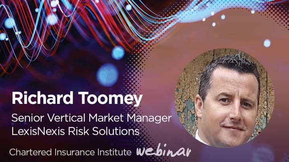
Closing the data gap in commercial property
About This Webcast
This webinar will examine the current challenges related to commercial property underwriting, not least the difficulty insurance providers can face in gaining a comprehensive view of risk at speed, as part of a digitised quote process. Richard Toomey will look at the wide range of verified data sources insurance providers need access to at the point of quote to make accurate pricing and underwriting decisions. This includes location data, granular insight into property itself, its perils exposure as well as the businesses and individuals occupying the building. Richard will examine how it is already possible to combine multiple data layers in geospatial intelligence visualisation solutions to pinpoint risk accumulations, exposures and guide pricing or reinsurance decisions. Underwriters can also continuously monitor zones and track changes automatically during the underwriting process. Richard will go on to suggest that these same tools could be used to streamline decisioning for commercial property risks by extending beyond environmental and building footprint / height data to incorporate more granular detail on the property and business activities in the building and the people behind the business being insured. Learning Objectives: • Understand the key data insights needed to assess property insurance risk • Learn how geospatial data visualisation solutions deliver an understanding of environmental risk for commercial properties at an individual level or across a whole property portfolio • Appreciate the potential for data visualisation solutions to encompass a broader range of data insights for a 360-degree view of commercial property risk Should you have any queries, do not hesitate to contact us at digitalevents@cii.co.uk
Speakers
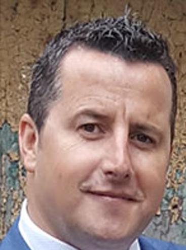
Richard Toomey
Director, Market Planning , LexisNexis® Risk Solutions, UK & Ireland
Richard Toomey has been with LexisNexis Risk Solutions for over 20 years and has extensive experience in the areas of geospatial data analytics, location intelligence and mapping for insurance underwriting and pricing decisions. He is currently applying these skills to find new ways for commercial property insurance providers to gain a more comprehensive view of risk in a highly streamlined and efficient manner. This includes applying the wealth of geo-spatial data held within LexisNexis Risk Solutions. Richard has worked with many of the world’s leading commercial and home insurers and third-party data suppliers.